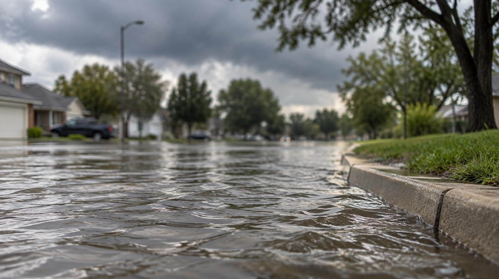
The National Weather Service placed portions of Southeast Texas, including the Spring area, under a Slight Risk of excessive rainfall for Thursday, Oct. 1, warning of possible heavy downpours and minor street flooding.
The Slight Risk designation is level 2 on the Weather Prediction Center's four-level scale. It signals that localized heavy rain could produce ponding on streets and low-lying areas. The NWS Houston/Galveston office said on X Tuesday, Sept. 29, that the forecast remains on track and the agency is monitoring conditions for any upgrades.
The heaviest rainfall axis is expected to stay west of Houston, according to the NWS. But a Moderate Risk (level 3 of 4) sits just outside the agency's northwest counties, meaning Spring's risk level could shift if the storm track moves east.
Moisture from the remnants of Pacific Hurricane Polo is fueling the system. KPRC 2 reported that isolated spots across Southeast Texas could see heavy rain leading to street flooding, even though the highest totals are forecast farther west.
CW39 Houston reported rainfall totals in the broader region could top 2 inches Thursday. If the approaching front stalls, locally heavier amounts are possible. The Brazos Valley faces the greatest potential for prolonged heavy rain in Southeast Texas, according to CW39.
FOX 26 Houston noted Sunday, Sept. 27, that global forecast models were still not in agreement on the rain's timing. The NWS confirmed earlier Tuesday that very few changes had been made to the outlook since then, with portions of the region still in the Slight Risk zone.
The NWS Houston/Galveston forecast page describes the setup as deeper Gulf moisture combining with a slow-moving upper-level disturbance to produce showers and storms, some of which could be locally heavy.
No specific rainfall total for Spring has been issued. Residents and commuters along the I-45 corridor can monitor the NWS Houston/Galveston forecast page for watches or warnings as conditions develop Thursday.