Spring residents can monitor flooding conditions block by block using a free Harris County tool that tracks rainfall, bayou levels and inundated roads.
The Harris County Flood Warning System, operated by the Harris County Flood Control District, pulls data from 201 gauge stations placed along streams and tributaries throughout the county. The website also displays readings from more than 350 stations run by partner agencies, according to the Flood Control District. The tool is free.
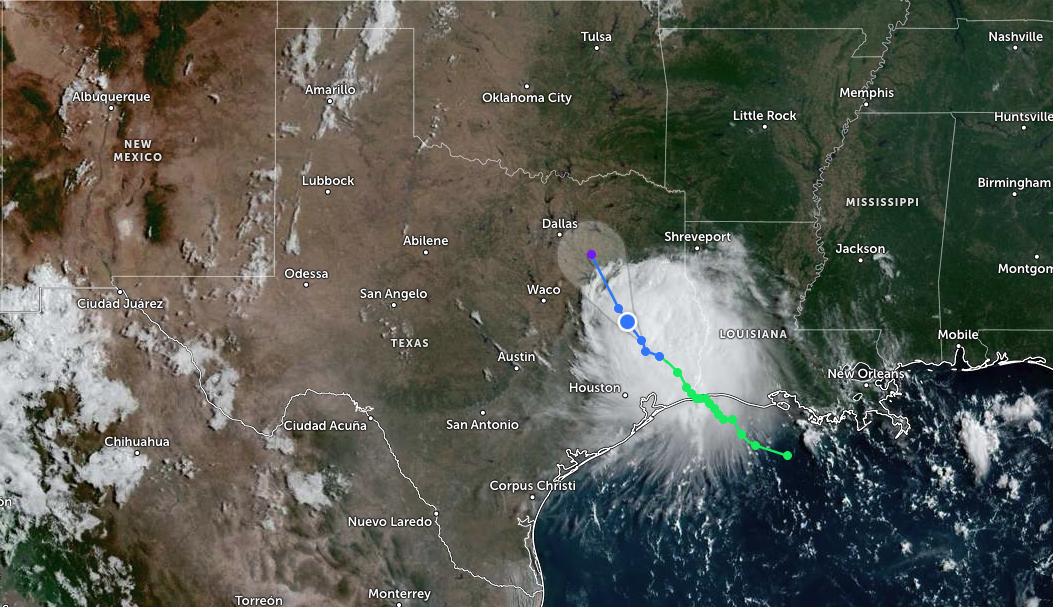
Harris County officials are encouraging residents to use the system as storm season intensifies, CW39 reported on Sept. 1. The tool gained fresh relevance as Tropical Storm Edouard approached Southeast Texas that same day. Edouard made landfall near Johnson Bayou, Louisiana, with sustained winds of 60 mph, according to the National Hurricane Center.
Harris and Galveston counties were under a flood watch, with the National Weather Service projecting 3 to 5 inches of rain across most areas and 6 to 9 inches in isolated spots, Houston Public Media reported. Harris County Judge Lina Hidalgo urged residents to use caution on roads as the storm approached.
The Flood Control District flagged Spring-area waterways multiple times over the summer. On Aug. 28, the district posted a street-flooding alert for Cypress Creek at I-45 near Spring. A June 16 alert warned of near-bankfull conditions on Spring Creek at Hegar Road.
How to use it
Residents can type an address into the search bar at harriscountyfws.org to find nearby monitoring stations and current conditions. The site also lets users browse by watershed.
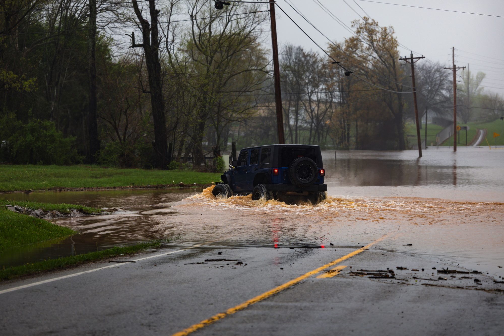
One feature worth bookmarking: the Inundation Map. It highlights flooded roads, parks and low-lying areas during heavy rain, giving drivers a way to check routes before leaving home.
Data from the gauge stations updates quickly. Rainfall sensors transmit readings every time 0.04 inches of rain falls. Stream-level sensors report every 0.10-foot rise. The Flood Control District notes that data on the website may be delayed by about five minutes.
Signing up for alerts
The system sends free text and email alerts tied to specific gauge stations. Residents can set notifications for locations near their home, workplace or child's school.
To sign up, users create a free account at harriscountyfws.org, then visit the Multi-Gauge Alerts page. They can subscribe to individual stations or select several at once. The system offers two threshold levels: "Flooding Possible," meaning roadway flooding may occur, and "Flooding Likely," meaning some structures and roads near the gauge may flood.
Why it matters now
The Harris County Office of Homeland Security and Emergency Management routinely directs residents to the Flood Warning System during heavy rainfall. The National Weather Service also uses the system's data to help issue flood watches and warnings, according to the Flood Control District.
The statistical peak of the Atlantic hurricane season falls on Sept. 10. The most active stretch is still ahead.
The system has been running since 1982, when the Flood Control District installed its first 13 gauge stations. Hurricane Alicia tested it the following year.
Spring residents can access the tool at harriscountyfws.org or sign up for alerts at FWSAlerts.org.