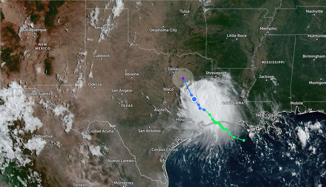
Tropical Storm Edouard made landfall at 2:20 p.m. CDT on Tuesday, Sept. 1, near Johnson Bayou, Louisiana, with maximum sustained winds of 60 mph. The storm weakened to a tropical depression Tuesday night, but the flood threat for Spring is not over.
The National Weather Service Houston confirmed Edouard continues to weaken as it moves inland and is forecast to dissipate by Wednesday night, Sept. 3. The primary threat remains heavy rainfall and flash flooding, especially overnight into Wednesday morning. As we reported earlier Tuesday, state officials were mobilizing ahead of the storm's arrival in Harris County.
What Spring faces Wednesday
KHOU forecast 2 to 3 inches of additional rain for Spring and northern Harris County through Wednesday, with localized heavier amounts possible if rain bands repeatedly move across the same areas. The greatest flooding concern is north and east of Houston, particularly where several inches have already fallen.
The NWS Houston expanded the Flood Watch on Tuesday to include the Piney Woods and Brazos Valley areas. Rainfall totals of 3 to 5 inches are expected across the watch area, with isolated amounts of 10 to 15 inches possible. The highest totals are forecast along and east of I-45, which runs through Spring.
The NWS urged residents to "make sure to have multiple ways to receive warnings, especially at night."
Flood Watch and county response
The Harris County Office of Homeland Security and Emergency Management (HCOHSEM) issued guidance advising residents to monitor roadway conditions through Wednesday. The Flood Watch covers Harris, Montgomery, Liberty, Chambers, Brazoria and Galveston counties through 7 a.m. Wednesday.
The Harris County Flood Control District urged residents to track rainfall and stream levels at HarrisCountyFWS.org and sign up for free alerts at FWSAlerts.org.
School closures and power outages
Conroe ISD and Willis ISD announced school closures for Wednesday, Sept. 2, citing potential heavy rainfall, flooding, power outages and hazardous road conditions, according to the Houston Chronicle.
More than 56,800 utility customers across Texas still had no power early Wednesday morning, the Houston Chronicle reported. The bulk of outages hit the Beaumont area, where Entergy Texas reported more than 70,000 customers without power Tuesday night. CenterPoint Energy, which serves Spring, had activated its emergency operations center ahead of the storm.
What Spring residents should do
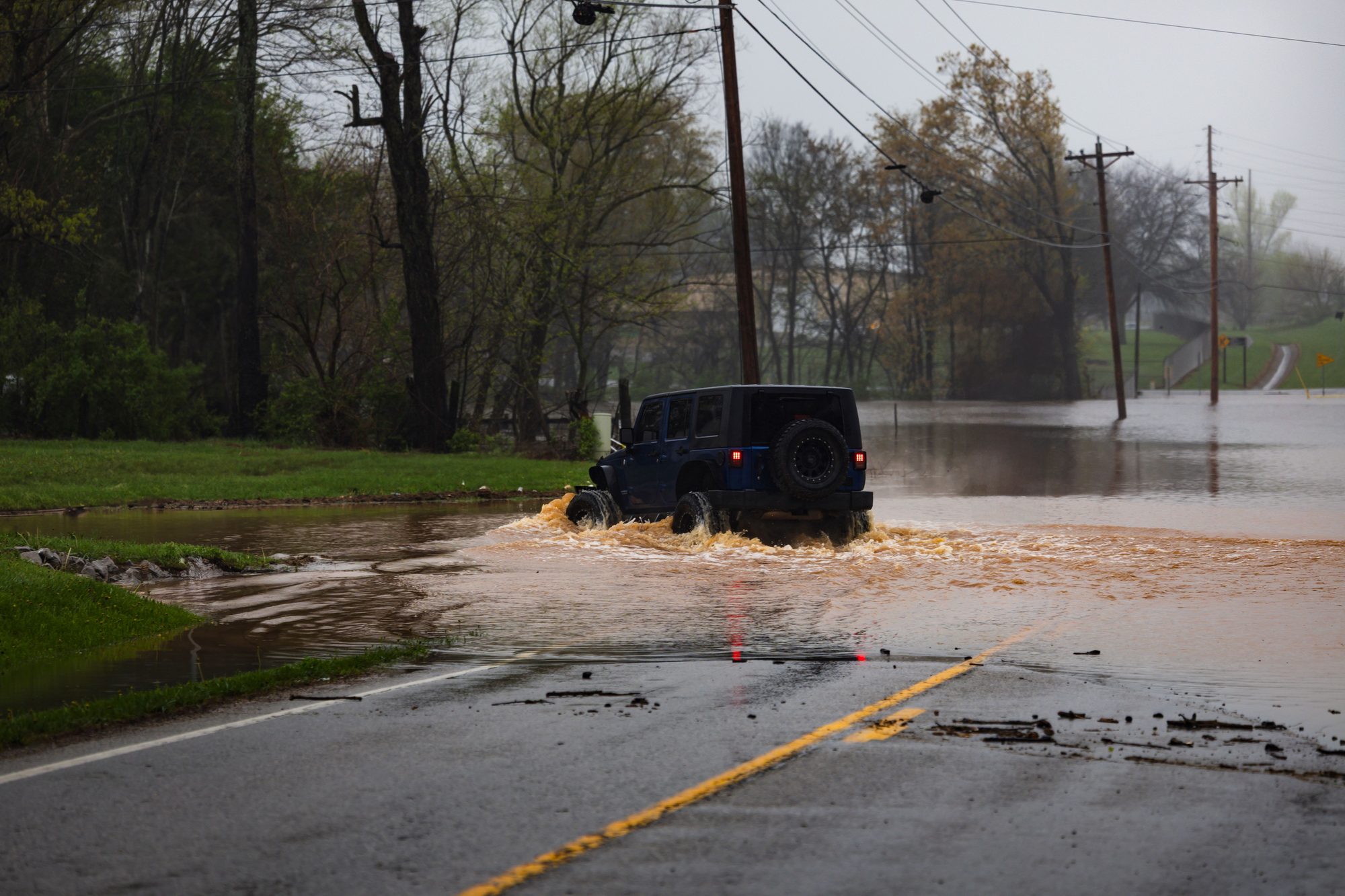
If roads flood: do not drive through standing water. Gov. Greg Abbott said at a Monday, Aug. 31, press conference, "It's so incredibly important for anybody in any region of the state, but especially in Harris County, to avoid driving into what appears to be waters on the roadway."
Residents can text GULF2026 to 888777 for hurricane-season updates and check the Houston TranStar live traffic map at traffic.houstontranstar.org/layers/ before driving.
Looking ahead
Wednesday's forecast calls for scattered thunderstorms with a 70% rain chance. Thursday drops to 50%, and Friday to 40%. Afternoon storms may linger into Saturday at a 40% chance, with highs in the low 90s all week.